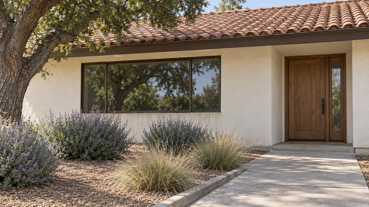
Pull up the zoning code for a house on Sunkist Lane in Los Altos and it reads the same as most of the city: R1-10, single-family residential, ten-thousand-square-foot minimum lot. Pull up the zoning code for a house three streets over, outside the overlay, and it reads identically. Nothing on the base zoning designation distinguishes them.
One of those two houses can add a second story if the floor area math works out. The other cannot, no matter how much floor area it has left to build. The difference isn't in the zoning district. It's in a second, overlapping district that never shows up unless you know to look for it.
The Two Zoning Maps Los Altos Keeps
Los Altos regulates how big a house can get through floor area ratio, or FAR, which is calculated off net lot size and caps total square footage. A ten-thousand-square-foot lot typically allows around 3,500 square feet of floor area, and larger lots get a percentage-based bump above that. Standard R1 zoning also permits a maximum structure height of roughly 30 feet, which is enough room for two full stories once setbacks and daylight plane rules are satisfied.
That's the math most buyers run before writing an offer with renovation plans attached. It tells you how much house you can build. It says nothing about how many stories you're allowed to stack it into.
That second question belongs to a different part of the municipal code: Chapter 14.13, the Single-Story Single-Family Overlay District, known in the zoning ordinance as R1-S. Where it applies, it overrides the height and story allowance that would otherwise come with R1 zoning, regardless of how much FAR capacity the lot has left. A buyer can clear every FAR and setback calculation on paper and still hit a wall the base zoning never mentioned, because the overlay isn't a citywide rule. It's applied street by street.
How a Street Votes Itself Into One Story
The overlay isn't something the city imposes from above. It's a petition process neighbors run themselves, and the thresholds are specific enough that the outcome depends entirely on how organized a block is.
| Step | What it takes |
|---|---|
| Start a petition | Boundaries of the proposed neighborhood clearly defined |
| Qualify for review | Signatures from at least 50% of property owners in that neighborhood |
| File the application | A city fee of $4,075, plus a scaled map and owner list for everyone within 500 feet |
| Pass the vote | A secret mail-in ballot requiring 66.67% approval before the proposal reaches a public hearing |
The secret ballot matters. A neighbor who won't say no to a petition circulating door to door can still vote no once it's a mailed ballot, which is part of why some of these efforts fail even after clearing the signature threshold. Verano Drive is the clearest documented case of one that succeeded: a vote among property owners came back at 77.1% in favor, well above the two-thirds bar, and the city formalized it by adding Verano Drive to the R1-S district through Ordinance No. 01-407.
Not Every Street Gets There
The process is available citywide, but it doesn't resolve the same way everywhere it's tried. The Jay Street area is the documented example of a petition that generated real attention and still didn't result in an overlay. Whatever stage it failed at, no R1-S district exists there today.
That matters for how a buyer should read the map. An overlay isn't a formality that eventually catches up to every R1 street in Los Altos. It's the outcome of one specific vote on one specific block, and plenty of blocks with similar housing stock and similar concerns about additions have never run the petition, or have run it and come up short of two-thirds.
The Streets Currently Inside the Overlay
The largest contiguous R1-S area in the city centers on a cluster of streets around Avalon and Sunkist Drives, and includes:
- Sunkist Lane
- Avalon Drive
- Angela Drive
- Merrit Road
- Galli Drive
- Edith Avenue
- Azalea Way
- Gordon Way
Verano Drive was added later through the ordinance described above, and the most recent addition on record is Panchita Way, rezoned into the district on May 31, 2007. This isn't a complete list of every parcel affected, and boundaries can be precise down to specific addresses within a street rather than covering it end to end. The city maintains an official R1-S Overlay Zone Maps document, and the Public GIS Viewer lets you search by street address or assessor parcel number to see how a specific lot is classified. Neither of those checks is optional if a second story is part of the plan.
Once It's In, It's In for a While
An approved overlay stays in effect for a minimum of seven years before the city will even consider a repeal. After that window opens, undoing it requires the same math run in reverse: two-thirds of property owners voting to remove the designation, through the same petition and secret-ballot process used to create it.
That asymmetry cuts two ways depending on what a buyer wants. Someone drawn to a neighborhood specifically because it's protected from two-story construction is buying into something durable, not a rule that might lapse at the next council meeting. Someone hoping a nearby overlay might loosen soon, freeing up options for a future remodel, should plan around a multi-year timeline at minimum, with no guarantee the repeal vote clears two-thirds even once that window opens.
What This Means for the Renovation Math
If a parcel isn't inside an R1-S district, a second story is still not a simple addition. Los Altos requires a geotechnical report for any second-story addition or basement, a submittal requirement that adds both cost and time to the design phase regardless of where the lot sits in the city. That requirement applies on top of the standard site survey, tree protection plan, and zoning compliance table the city expects with any residential addition package.
The practical order of operations is to check overlay status first, since it's a binary yes-or-no that no amount of design work can change, and only after clearing that step start budgeting for the geotechnical and engineering costs that come with an approved second story. Running the FAR numbers before checking the overlay map risks designing a project the parcel was never eligible for in the first place.
A Few Questions Before You Assume
Does the overlay apply the same way across all of Los Altos? No. It's a designation applied neighborhood by neighborhood through the petition process, not something built into the base R1 zoning citywide. Two lots with identical R1-10 zoning can have different answers depending on whether their specific street ever ran the petition and cleared the vote.
Can one overlay district cover more than one street? Yes. The largest R1-S area in the city spans several connected streets rather than a single block, which is part of why checking a full address, not just a general neighborhood name, matters before assuming coverage either way.
How do I confirm whether a specific address is inside one? The city's R1-S Overlay Zone Maps document and the Public GIS Viewer both let you search by address or parcel number. Either one is a faster and more reliable check than reading general zoning descriptions off a listing.
If a second story is part of why a Los Altos property makes sense for you, that question is worth answering before the offer goes in, not after the architect's first set of plans comes back. Naoko Amaya works these parcel-level details into every Los Altos offer strategy, from FAR math to overlay status, so the renovation plan you're picturing is one the lot can actually support. Let's Connect.
